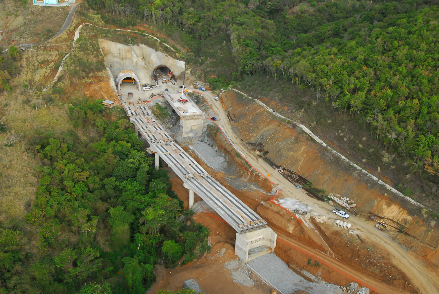
Tren Urbano de P.R.
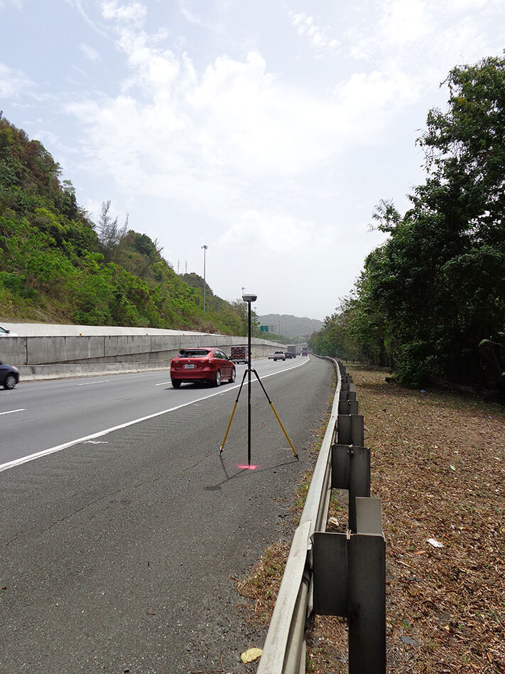
19 kilometers long -field, topographic maps of the whole route were created, as well as leveling the route (Second Order First Class) with the use of Global Positioning System (GPS) and Real Time Kinematics (RTK)
19 kilometers long -field, topographic maps of the whole route were created, as well as leveling the route (Second Order First Class) with the use of Global Positioning System (GPS) and Real Time Kinematics (RTK)